Description New Sanding STS722R10U Reflectorless Total Station: Full Specifications and Professional Review The New Sanding STS722R10U Reflectorless Total Station is a high-precision surveying instrument designed for engineers, land surveyors, and construction professionals who require speed, accuracy, and long-range performance. Featuring advanced reflectorless capabilities and robust field durability, this total station delivers efficient results across a wide range of surveying tasks. Key Features of the STS722R10U Total Station 1. Long-Range Reflectorless Measurement The STS722R10U provides powerful non-prism measurement capabilities, enabling users to measure: Hard-to-reach surfaces Unsafe or obstructed locations Reflectorless distances with excellent accuracy 2. High Angular and Distance Accuracy Engineered for professional-grade precision, it includes: High-quality EDM (Electronic Distance Measurement) Consistent angular accuracy Fast response time during field operations 3. User-Friendly Onboard Software The instrument is equipped with: A clear, easy-to-navigate interface Onboard calculation programs Fast-access function keys Intuitive menus for seamless operation 4. Strong Build for Field Conditions Designed for demanding environments, the device offers: Weatherproof housing Shock-resistant frame Stable performance in varying temperature conditions 5. Large Internal Storage The STS722R10U allows storing numerous measurement points and exporting them conveniently for post-processing. Technical Capabilities Advanced EDM System Reflectorless measurement with extended range High-speed distance reading Superior accuracy even in challenging environments High-Quality Optics Clear telescope for improved visibility Dual-axis compensator for stable measurement Precise targeting in bright and low-light conditions Efficient Data Management Internal memory for point storage Fast data export options via cable or external software Applications of the Sanding STS722R10U 1. Land and Topographic Surveying Ideal for mapping terrain, creating contour lines, and capturing detailed surface features. 2. Construction Layout Used for staking out foundations, road alignment, structural placement, and building layout. 3. Engineering Measurement Supports alignment checks, deformation monitoring, and slope analysis. 4. Boundary and Property Surveys Provides accurate point measurement essential for legal and cadastral documentation. 5. Utility and Infrastructure Projects Useful for locating underground utilities, right-of-way mapping, and infrastructure planning. Advantages of the STS722R10U Total Station Reliable Accuracy Delivers consistent, high-precision data suitable for engineering-level applications. Improved Efficiency Reflectorless measurement reduces setup time and enables faster surveying workflow. Cost-Effective Performance An affordable solution that competes with premium brands while maintaining quality and reliability. Durable and Field-Proven Design Built to withstand tough outdoor conditions and long workdays. How to Operate and Maintain the Device Operating Tips Level the instrument properly before measuring Perform routine calibration checks Ensure proper focusing for accurate data collection Maintenance Checklist Clean the optical lens regularly Store the device in its protective case Keep batteries fully charged before fieldwork


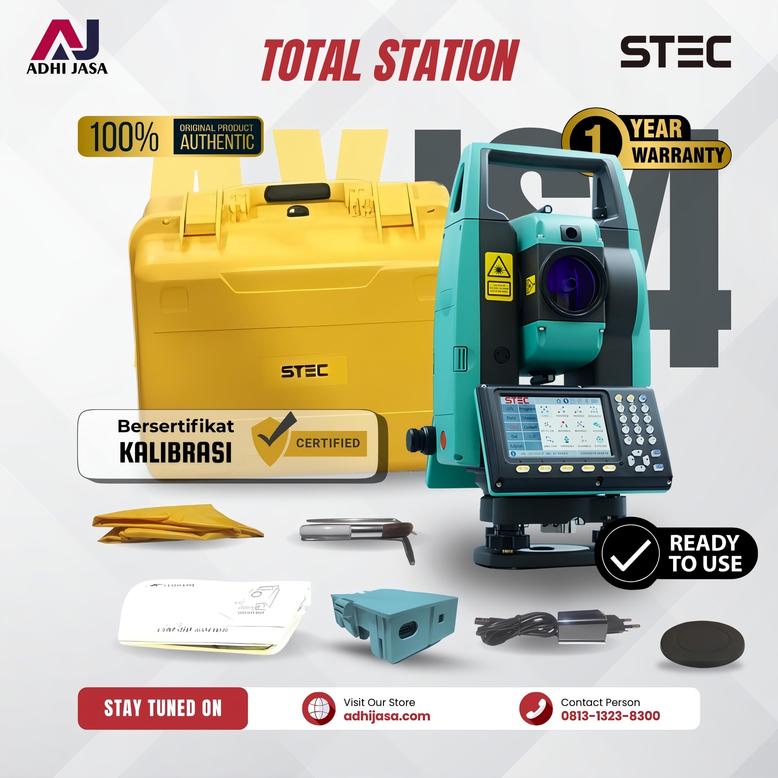
 Sanding Sts722r10U Reflectorless Total Station